
Mobility
Mobility and air pollution in Île-de-France
Road and rail networks, fleet changes and local emissions are closely linked. This guide explains how transport choices shape the air people breathe on their commutes and in their neighborhoods.
Exposure by mode
Commuting choices and exposure
Enclosed traffic queues tend to expose travellers to higher concentrations of traffic-related pollutants than routes set back from busy roads. Cycling and pedestrian corridors separated from main traffic generally offer lower exposure, though the effect depends on the route and the season. Our articles compare these modes and explain what the evidence shows.
Rail and regional transit reduce the number of vehicles on the road, which can lower roadside emissions over time. Read related articles for a closer look at each option.
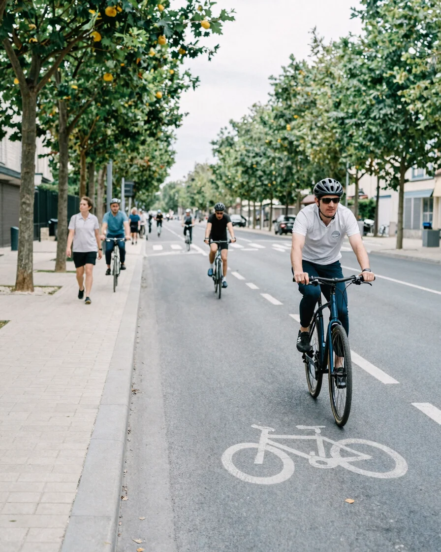
Practical adaptations
Solutions for everyday mobility
Cities and regions combine several measures to reduce traffic emissions. These topics are covered in our guides and articles.
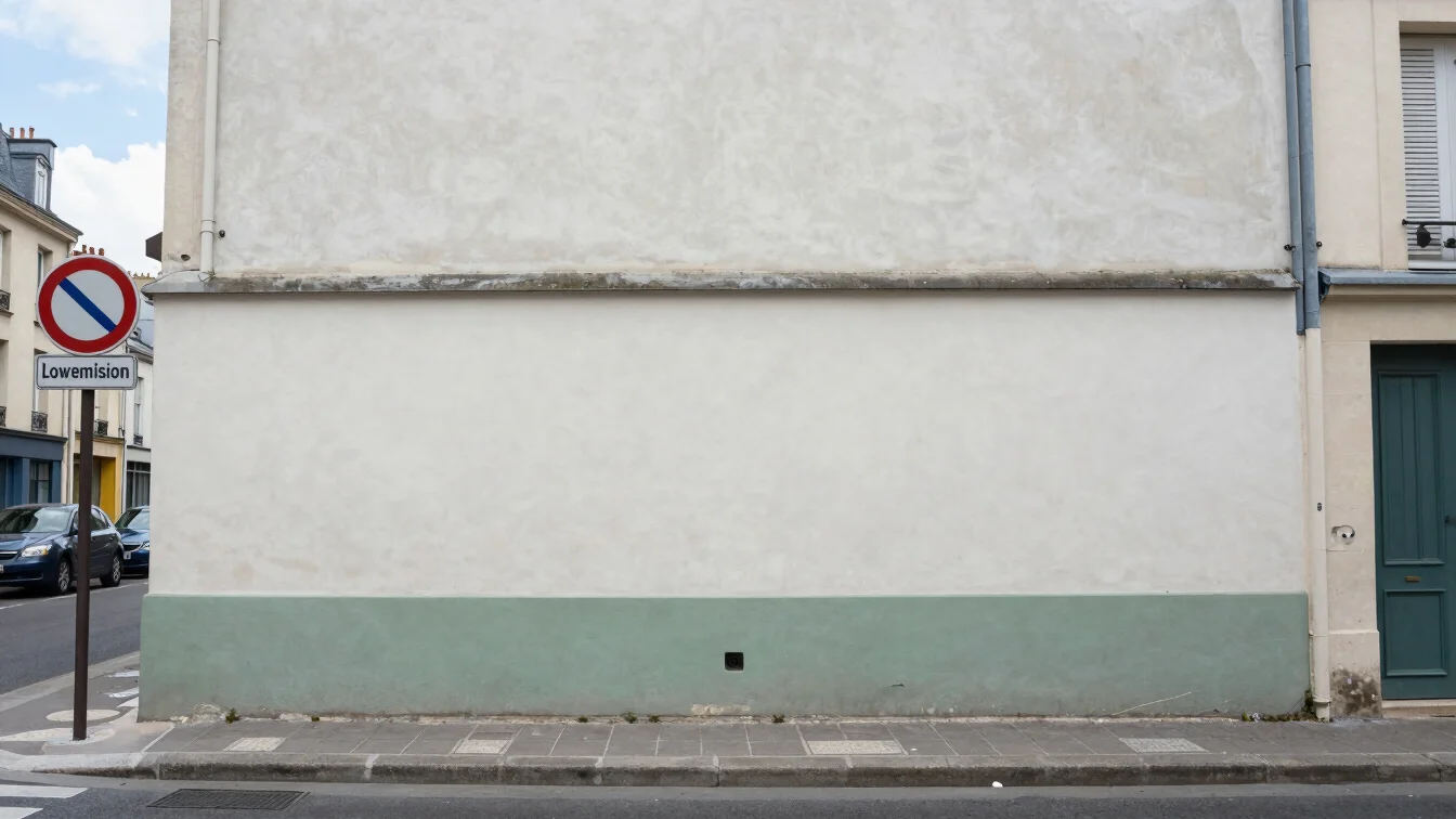
Low-emission zones
Low-emission perimeters restrict the most polluting vehicles in designated areas. Their effects build gradually as the vehicle fleet renews.
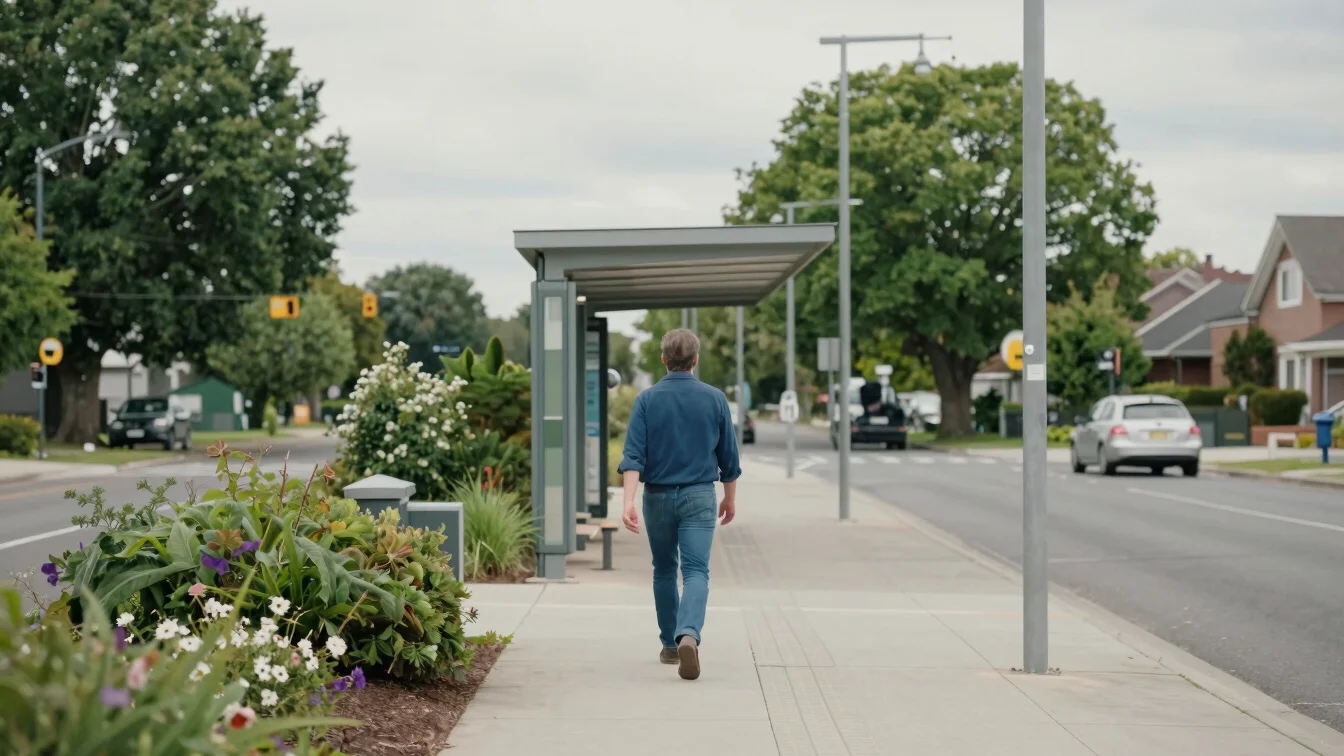
Multi-modal routes
Combining rail, bus and active travel can shorten exposure on busy roads. Planning routes with lower-traffic corridors helps.
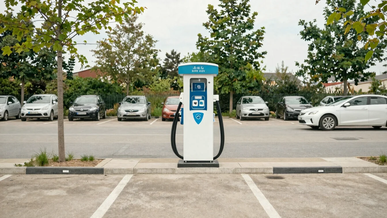
Fleet transition
Shifts toward cleaner vehicles and shared transport change emissions slowly. Track regional policy updates through reliable public sources.